LiDAR & photogrammetry workflows
Coordinate suitable point-cloud, imagery and textured-geometry data for existing buildings, sites and locations.


Studio4th / Digital twins
Suitable building and location data developed into scoped spatial assets for design communication, presentation and real-time experience.
Discuss a data briefFrom reality to model
The right twin begins with its purpose—then combines only the capture, model and delivery layers the project needs.
Coordinate suitable point-cloud, imagery and textured-geometry data for existing buildings, sites and locations.
Explore photoreal spatial records for immersive review, presentation and digital-location workflows.
Capture and coordinated model information brought together for design, retrofit and project communication.
Optimised spatial assets prepared for web, real-time engines, property presentation and immersive displays.
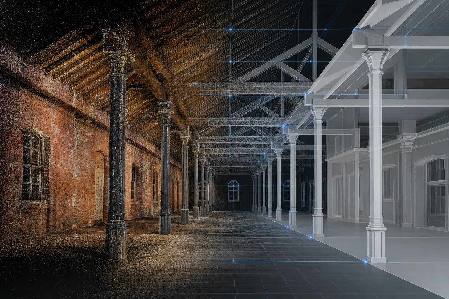
Capture-to-deployment
Set the required accuracy, coverage, outputs and future uses.
Use client-supplied data or identify appropriately equipped capture specialists for the agreed requirement.
Register, clean, model and connect the required information layers.
Optimise and publish the twin for coordination, presentation or experience.
Start with the purpose
Describe the place, access, available information and desired output. Studio4th will define an appropriate data-to-twin route and identify any required capture specialist.
Discuss a digital twin